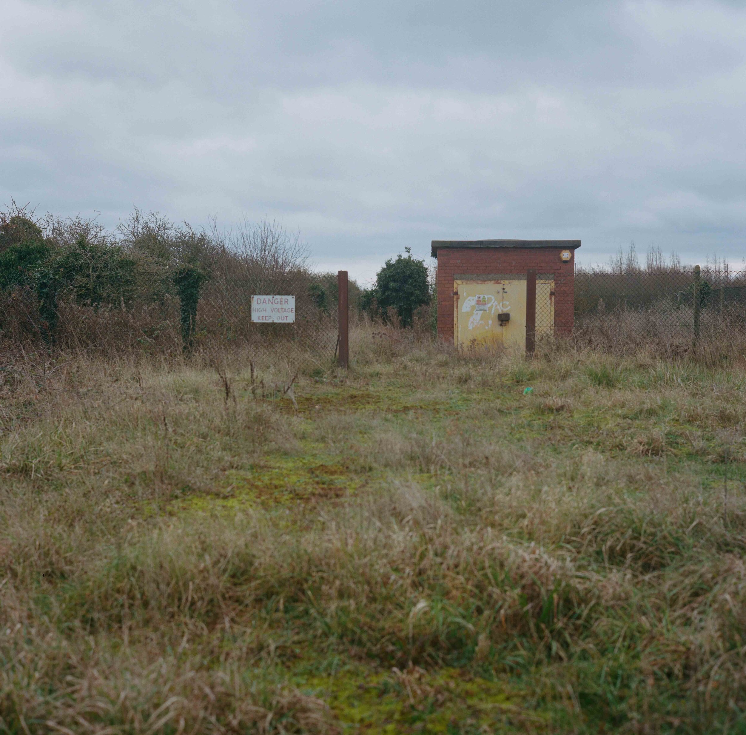


Danger! High Voltage. Reclaimed land on the edge of the salt marshes of the Dee estuary near the northern point of the Anglo-Welsh border.
The border runs straight across the middle of Sealand Road Park and Ride in Chester forming an invisible boundary between both countries and giving additional significance to where you choose to park.
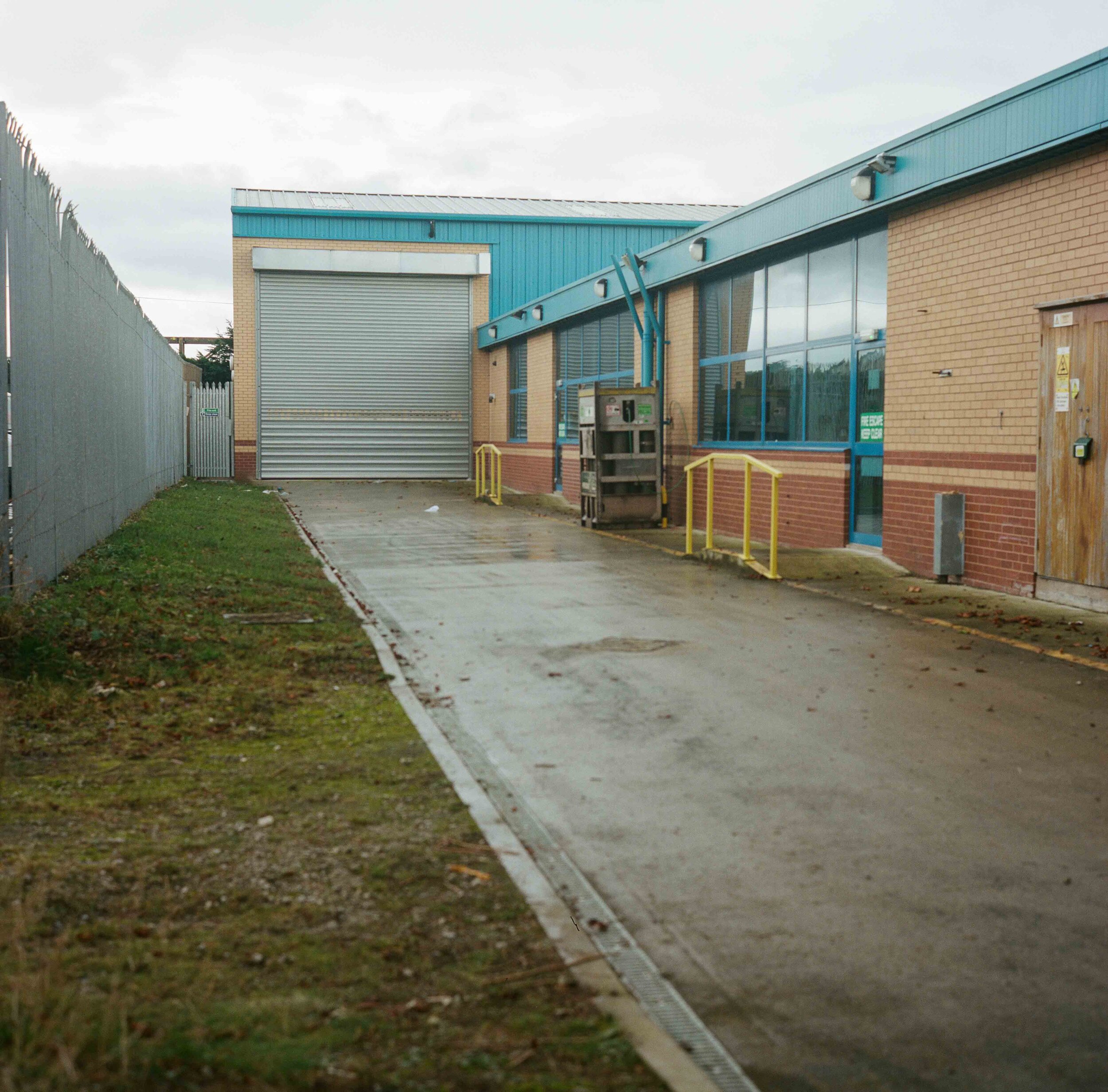
At the end of the lane running down the side of Quality Hydraulic Power in Chester, the border cuts right and passes directly through a warehouse, effectively meaning that you can cross from England to Wales within the building itself.
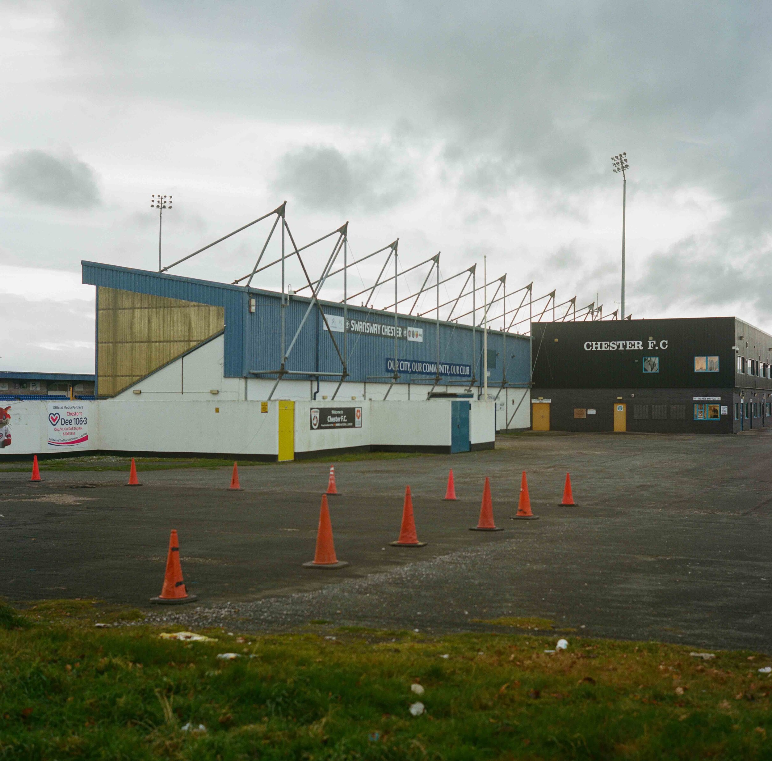
Deva Stadium, home of Chester Football Club. The pitch and three stands are in Flintshire, Wales while the east stand and importantly the adminstrative offices are in England. This means that they qualify for English Leagues. Currently they play in the National League North, the sixth tier of English football.
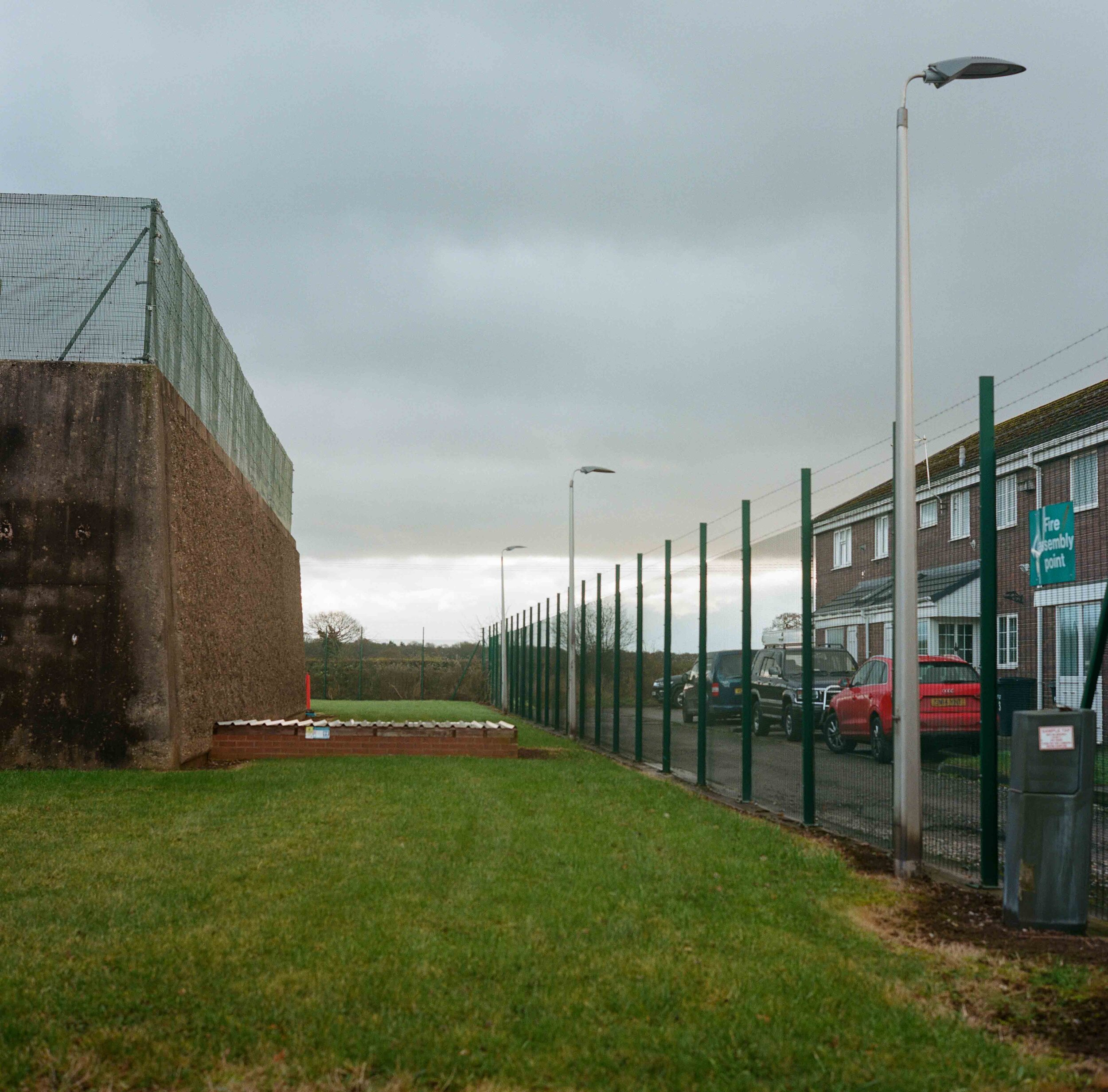
The fence around Dŵr Cymru/ Welsh Water´s Bretton Water Treatment Works demarks the border. The plant supplies treated water to a population of approximately 80,000.
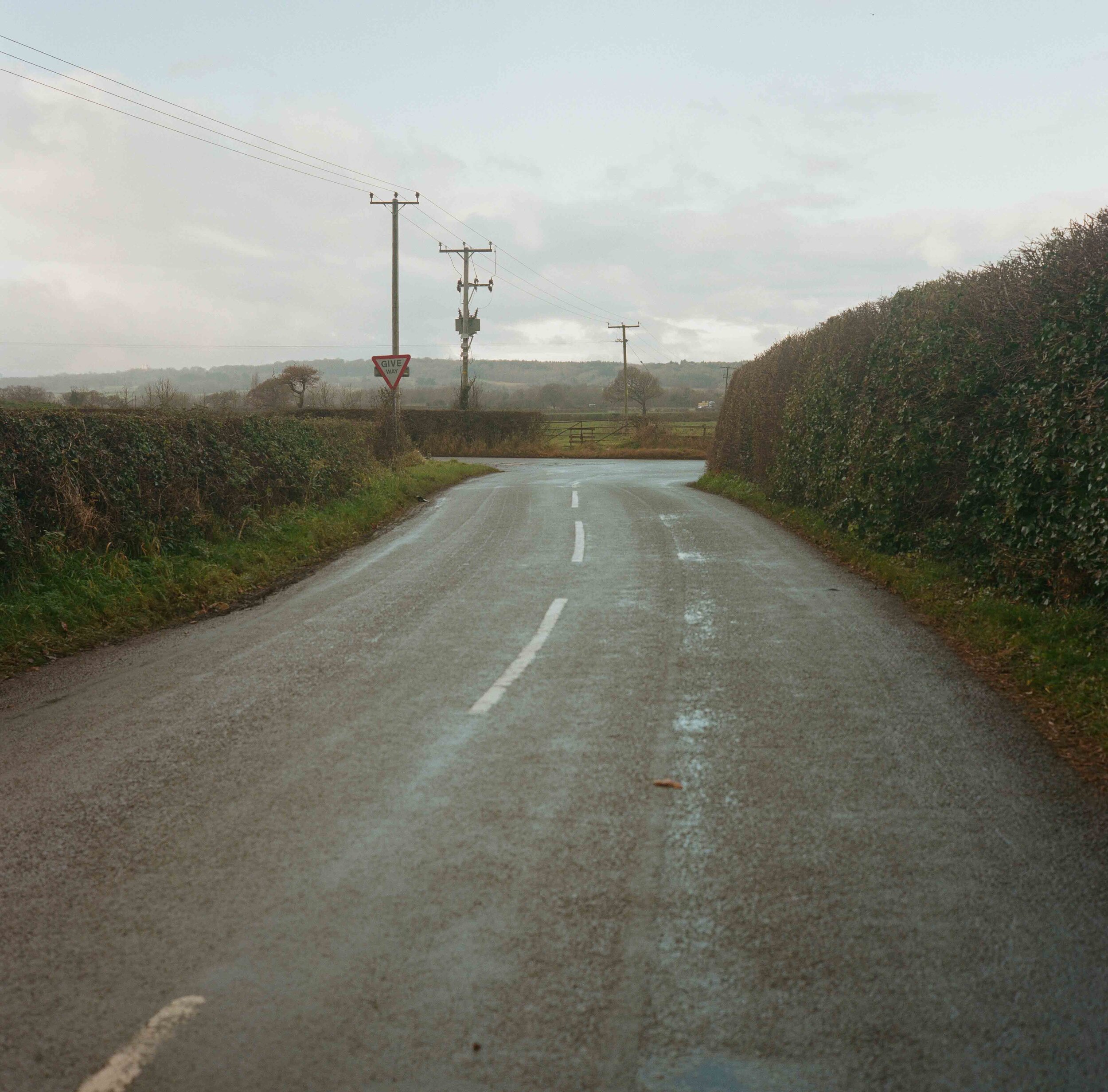
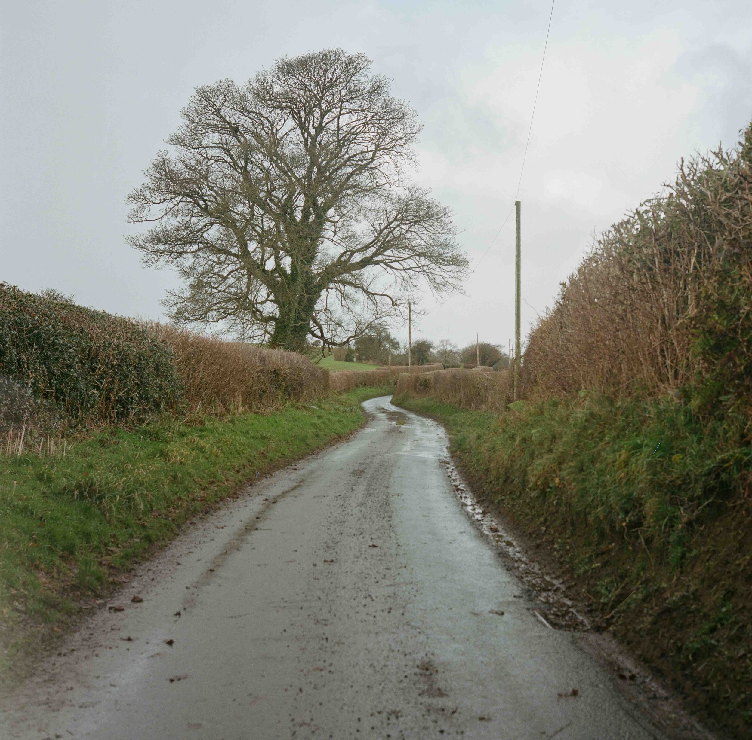
South of Bretton the border follows the course of the road turning left at a right angle down a lane.
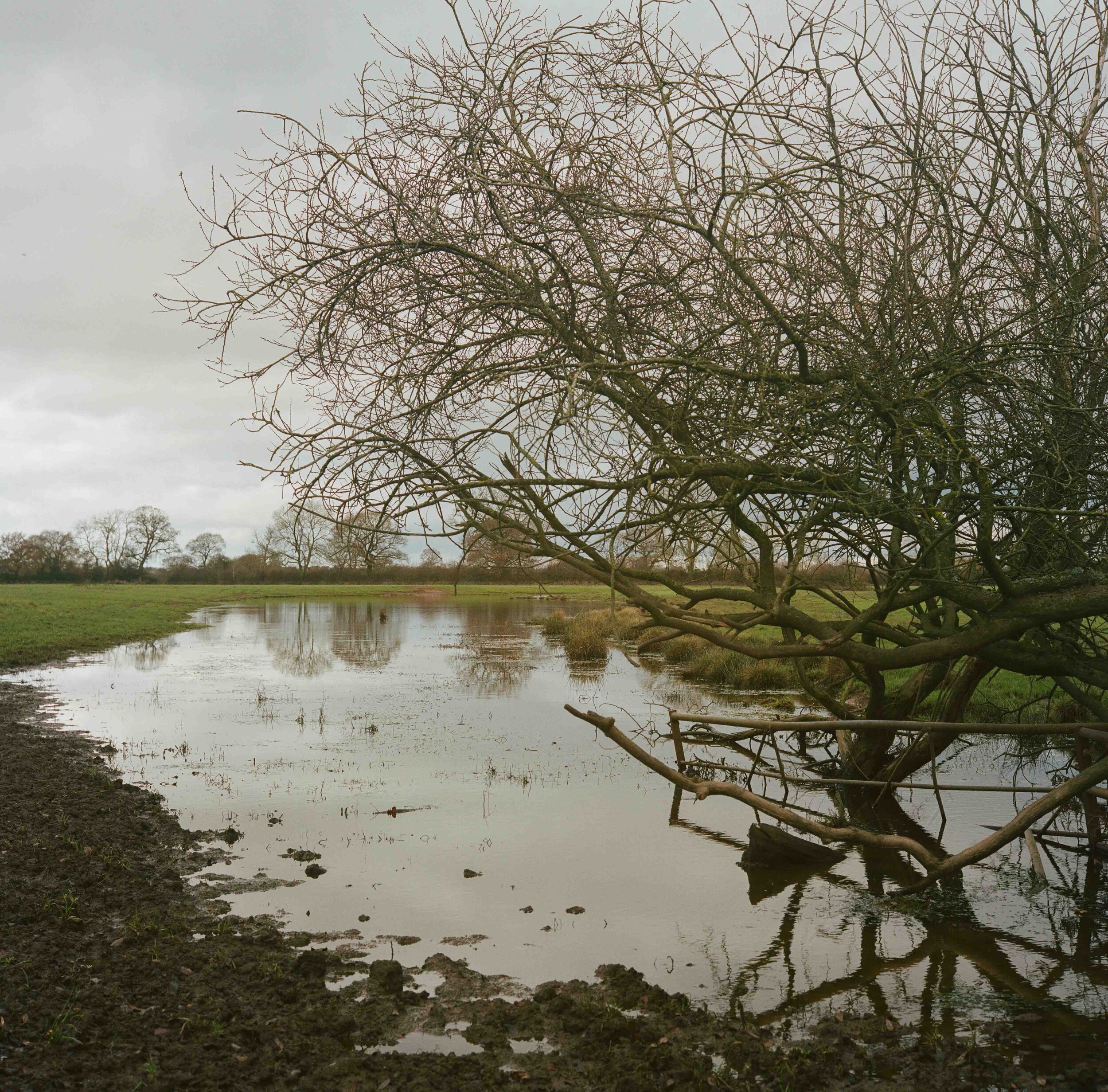
Deviating like a lasso from the River Dee, the border highlights an historical anomaly or perhaps bears testament to the change in course of the river over time.
A stream that deviates from the River Dee marks the separation of England and Wales.
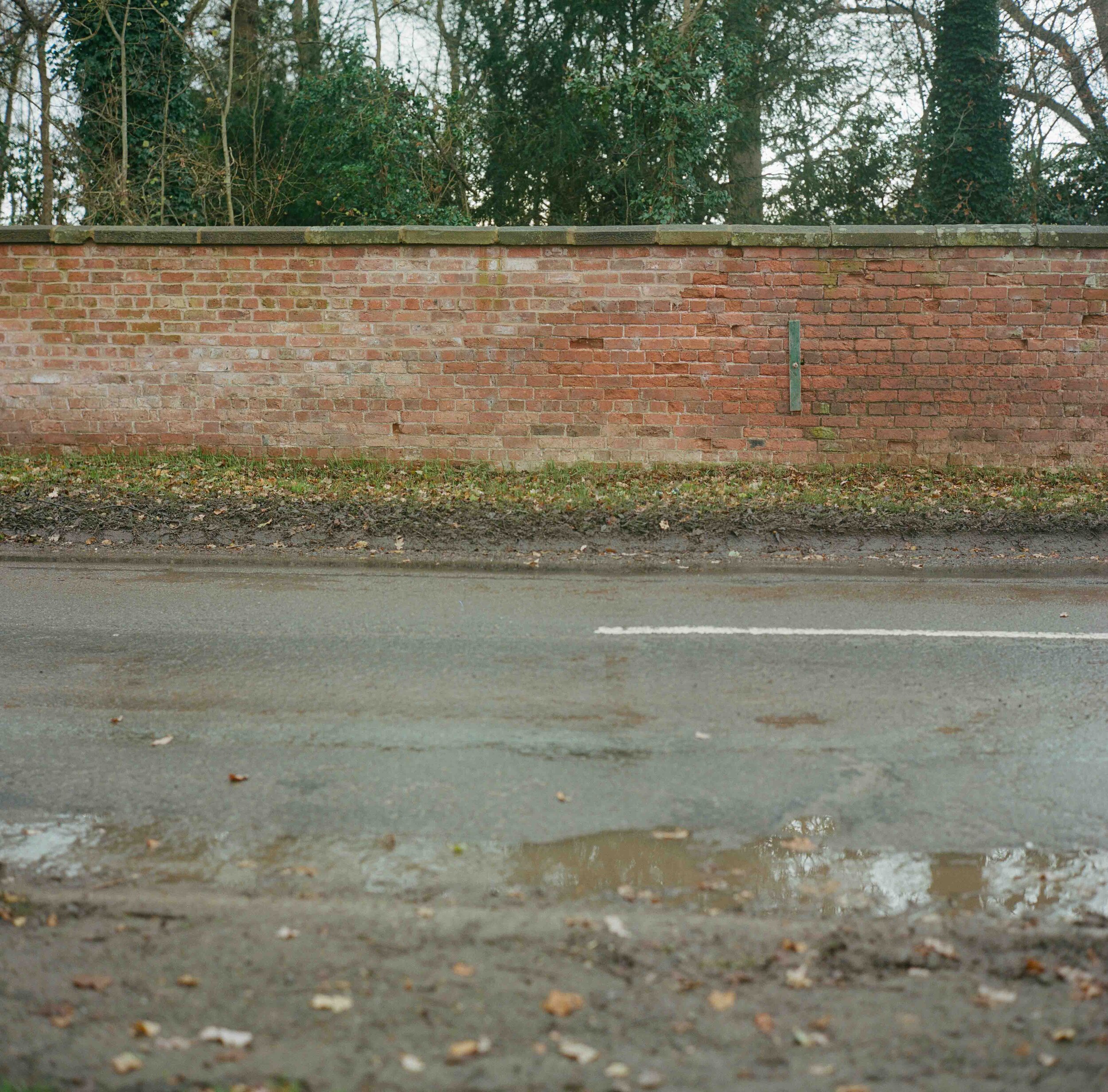
Just north of the village of Threapwood, the border takes a 90 degree turn and cuts across the B5069 before passing straight through a wall.
Threapwood developed on common land that fell outside county and parish boundaries and so outwith the jurisdiction of any Justice of the Peace meaning it paid no land tax or parish rates. This vague administrative status led to Threapwood gaining a reputation as a home to "abandoned characters of every description, and especially of women of loose or blemished morals" as well as a refuge for military deserters.
The village lay partly in Cheshire and partly in Flintshire until 1896 when the county boundary, and therefore the boundary between England and Wales, was adjusted slightly in favour of Cheshire.
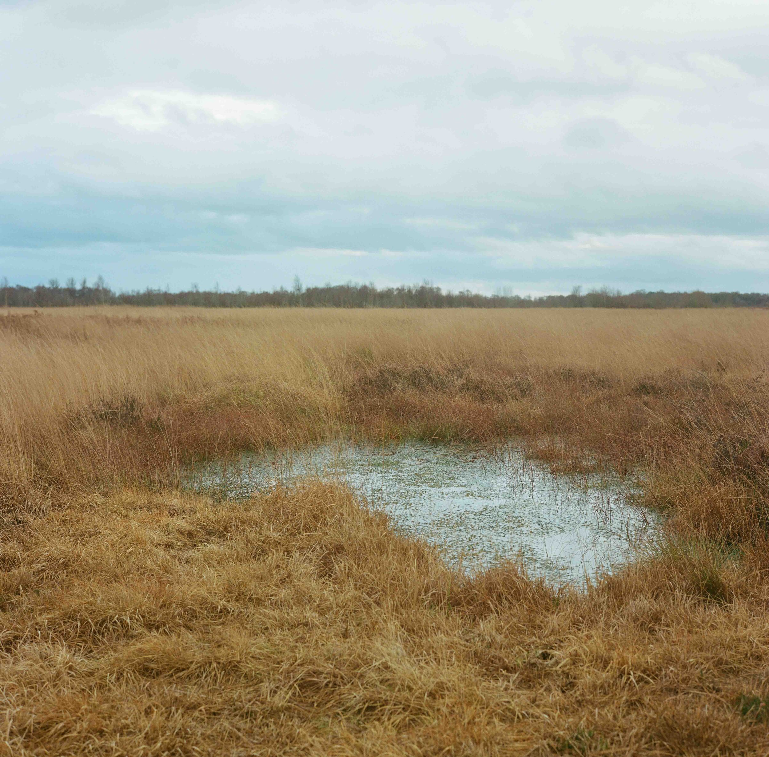
The border cuts invisibly across the Fenn's, Whixall and Bettisfield Mosses National Nature Reserve, Britain's third-largest lowland raised bog. Fed only by water from rainfall, the Reserve has been designated a Site of Special Scientific Interest due to the astonishingly varied wildlife that it nurtures.
This has not always been the case. Commercial peat cutting ran from 1851 while the acidic nature and sterile properties of the sphagnum moss made it ideal for field dressings to treat wounds in WWI. In 1990 the leases were bought by the Nature Conservancy Council and it is now managed jointly by Natural England and Natural Resources Wales.
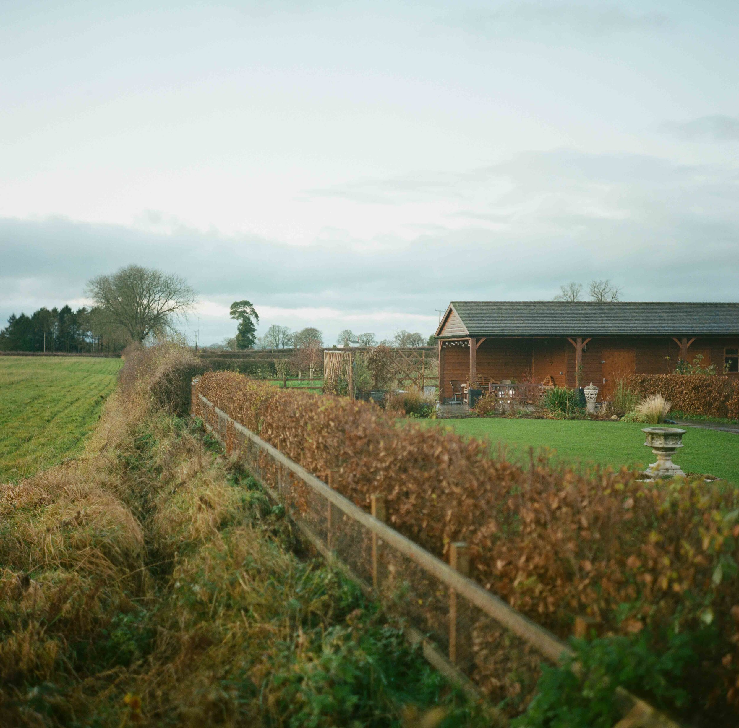
A back garden hedge pushes to the very edge of the border and separates Maelor South in Wales from Breaden Heath in England.
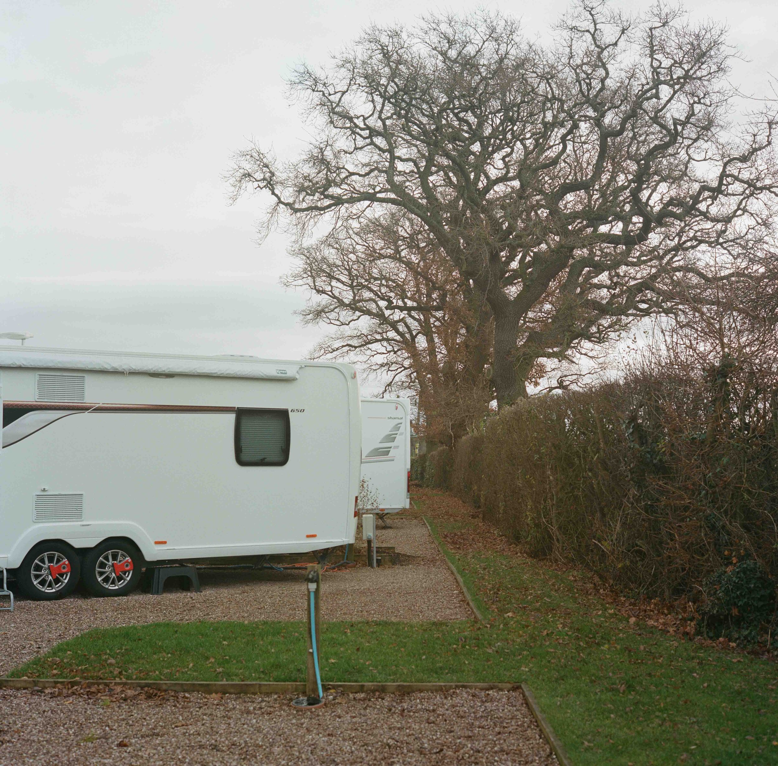
Caravans at the Trotting Mare Caravan Park in Overton-on-Dee back onto the hedge that delineates the Anglo-Welsh border.
Plant boxes separating the driveway and visitor carpark of Trotting Mare Caravan Park in Overton-on-Dee also double up as an informal delineation of the border between England and Wales.
Offa's Dyke rises from a field near Bronygarth.
Offa's Dyke is a large earthwork that roughly follows the current border between England and Wales. Named after Offa, the Anglo-Saxon King of Mercia from AD 757, its original purpose is unknown - it may have served as a defence against various competing Welsh kingdoms to the west; been built to demonstrate the power of the Mercian kingdom; or to control trade and levy taxes.
The Dyke still has a cultural significance symbolising the separation between England and Wales. Folklore claims that it was customary for the English to cut off the ears of every Welshman who was found to the east of the dyke, and for the Welsh to hang every Englishman whom they found to the west of it. Even as recently as 2014, Prime Minister David Cameron said when criticising Welsh Labour’s record on health, that Offa's Dyke "has become the line between life and death".
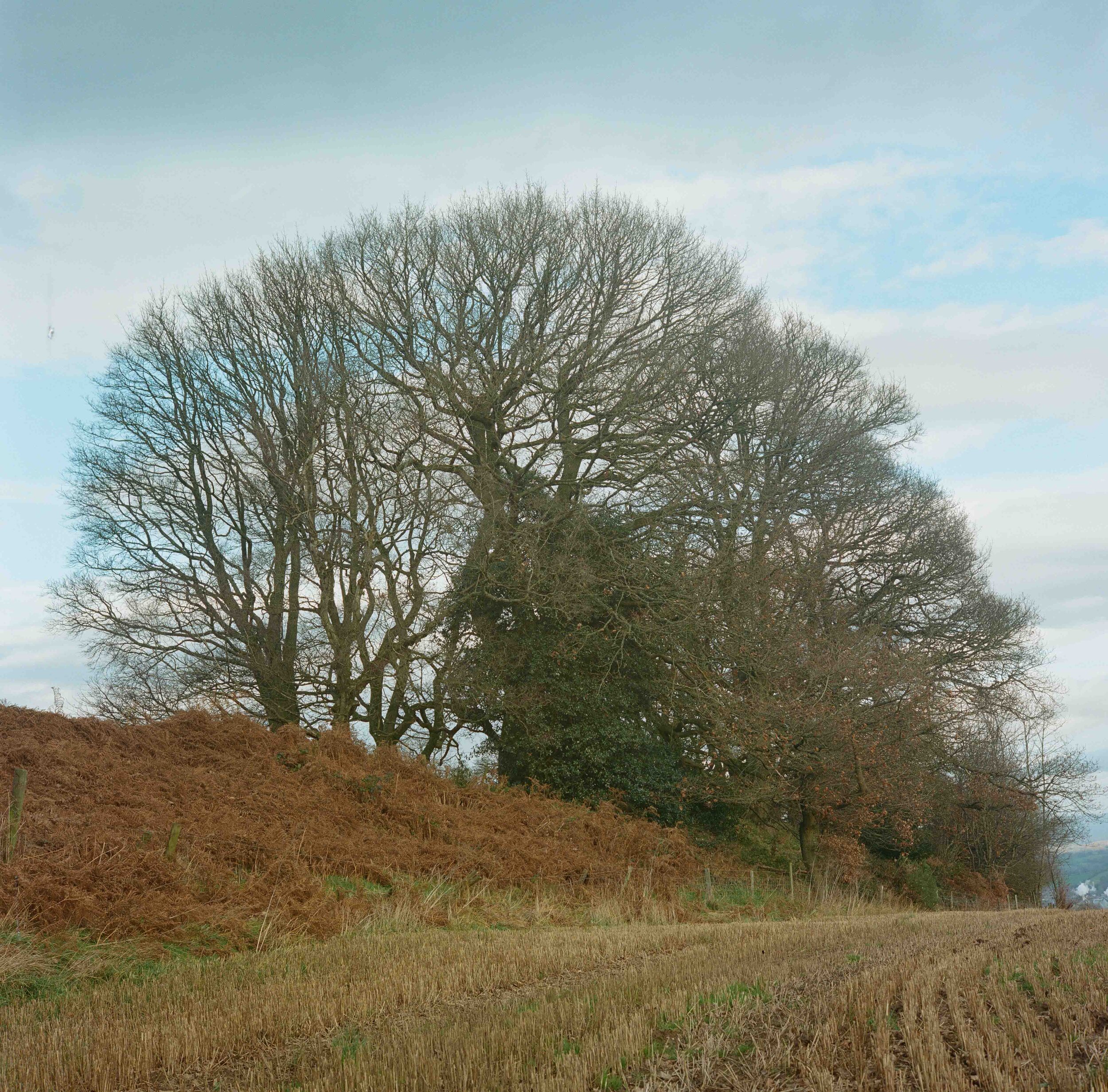
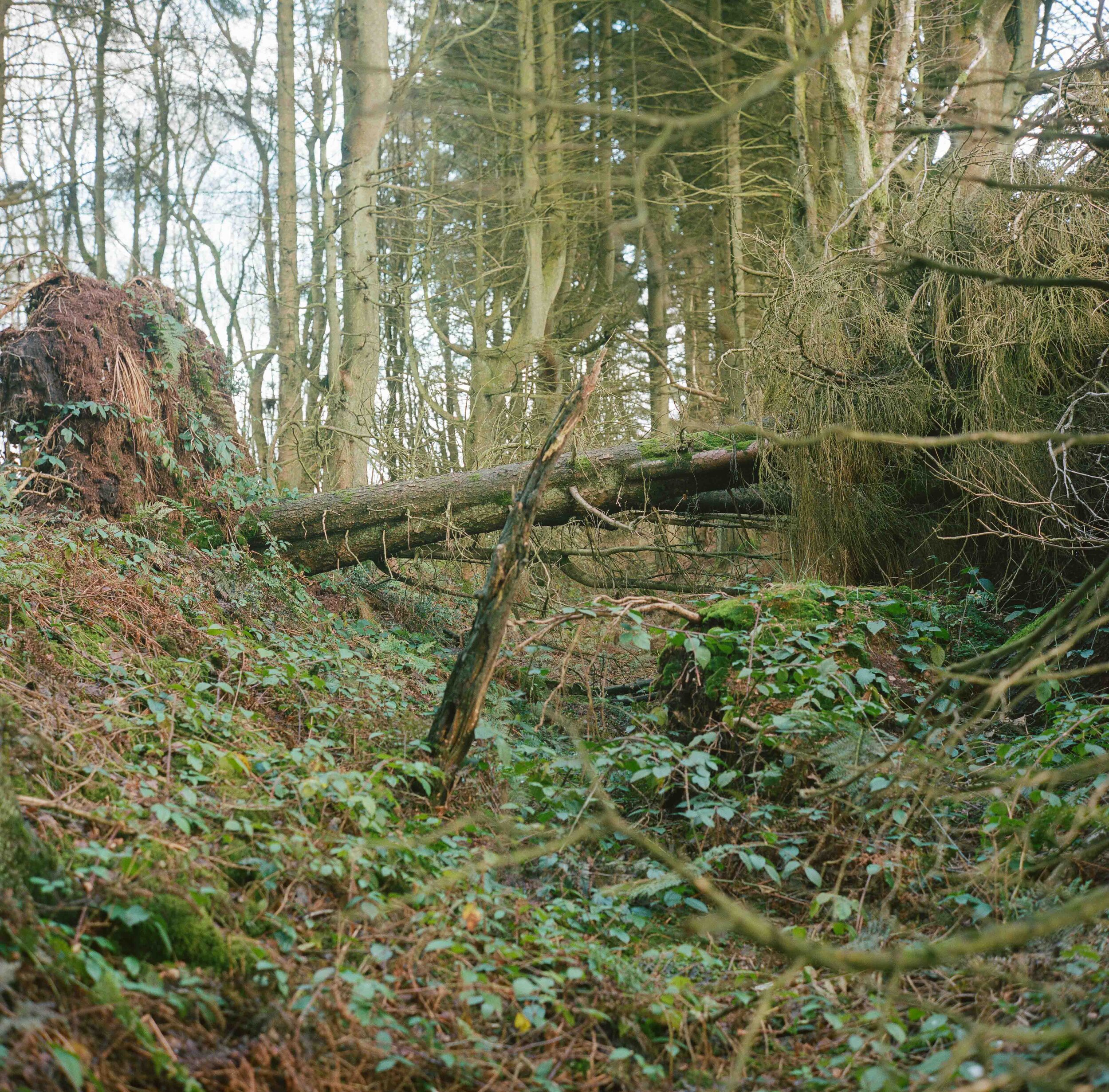
A fallen tree straddles the ditch of Offa's Dyke, near Bronygarth.
Offa's Dyke is a large earthwork that roughly follows the current border between England and Wales. Named after Offa, the Anglo-Saxon King of Mercia from AD 757, its original purpose is unknown - it may have served as a defence against various competing Welsh kingdoms to the west; been built to demonstrate the power of the Mercian kingdom; or to control trade and levy taxes.
The Dyke still has a cultural significance symbolising the separation between England and Wales. Folklore claims that it was customary for the English to cut off the ears of every Welshman who was found to the east of the dyke, and for the Welsh to hang every Englishman whom they found to the west of it. Even as recently as 2014, Prime Minister David Cameron said when criticising Welsh Labour’s record on health, that Offa's Dyke "has become the line between life and death".
The mound of a well preserved section of Offa's Dyke rises on either side.
Offa's Dyke is a large earthwork that roughly follows the current border between England and Wales. Named after Offa, the Anglo-Saxon King of Mercia from AD 757, its original purpose is unknown - it may have served as a defence against various competing Welsh kingdoms to the west; been built to demonstrate the power of the Mercian kingdom; or to control trade and levy taxes.
The Dyke still has a cultural significance symbolising the separation between England and Wales. Folklore claims that it was customary for the English to cut off the ears of every Welshman who was found to the east of the dyke, and for the Welsh to hang every Englishman whom they found to the west of it. Even as recently as 2014, Prime Minister David Cameron said when criticising Welsh Labour’s record on health, that Offa's Dyke "has become the line between life and death".
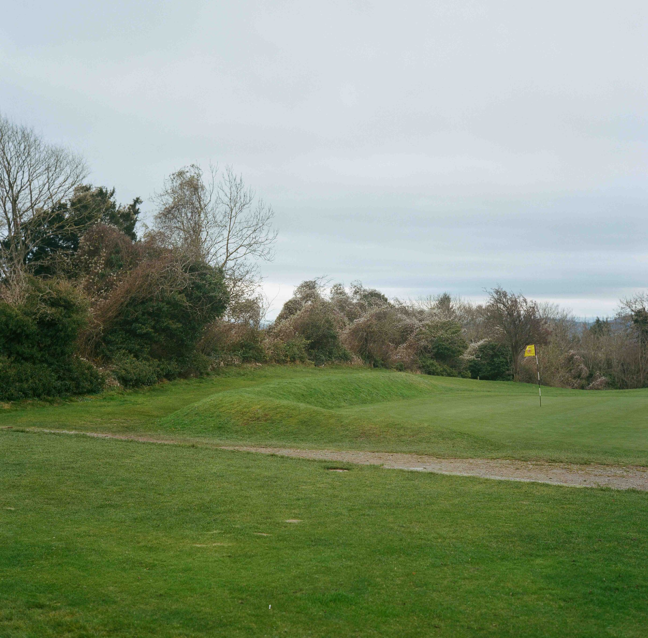
Llanymynech Golf Club straddles the Anglo-Welsh border with 15 holes in Wales and three in England. On holes one to four, golfers tee-off in Wales until reaching England on the fourth green. They remain in England until returning to Wales at the seventh tee. During the coronavirus pandemic, the club sought legal advice as to whether it could reopen given the different rules that applied in England and Wales.
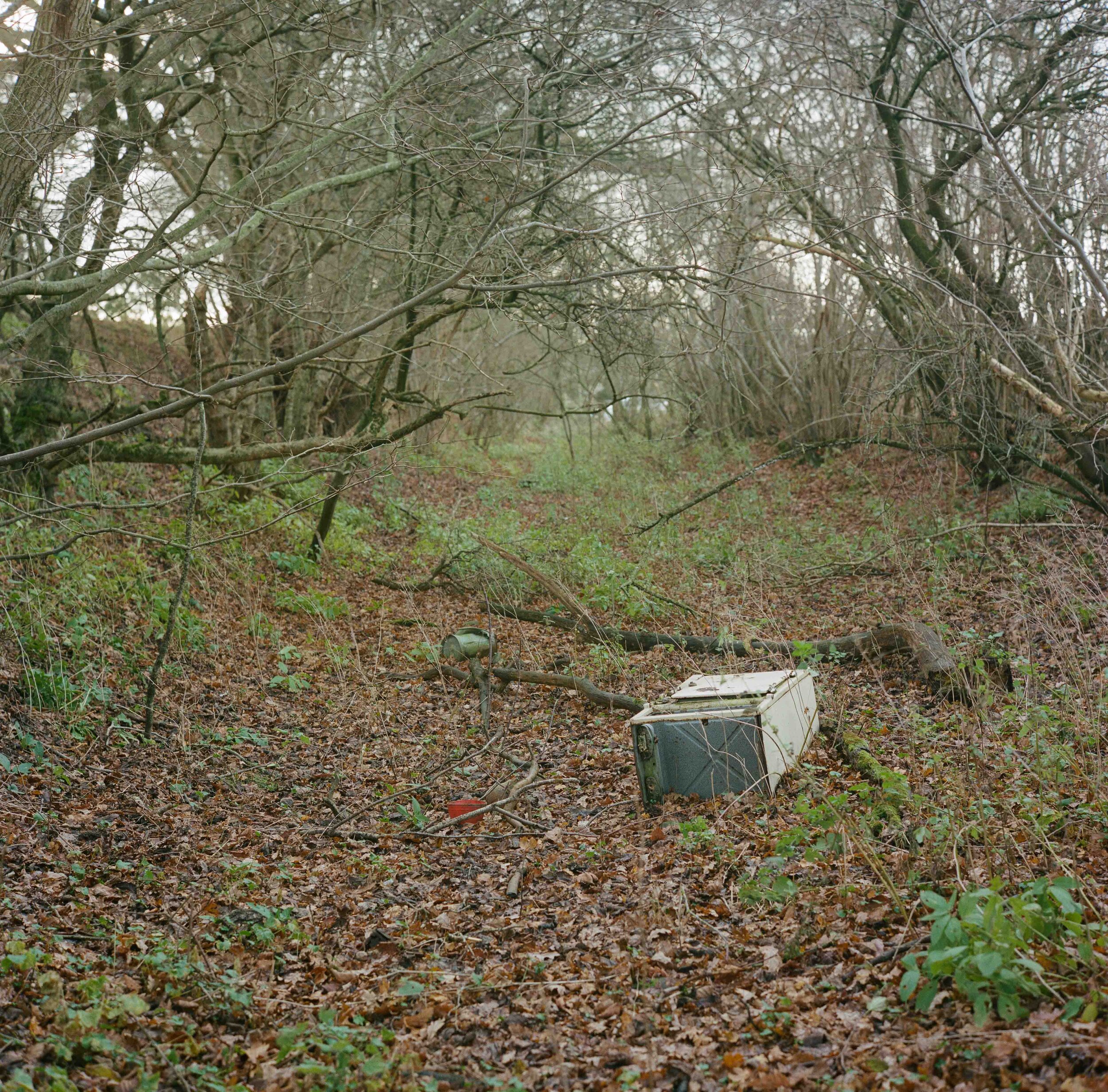
An abandoned washing machine lies in the ditch of Offa's Dyke between Rhiston and Montgomery.
Offa's Dyke is a large earthwork that roughly follows the current border between England and Wales. Named after Offa, the Anglo-Saxon King of Mercia from AD 757, its original purpose is unknown - it may have served as a defence against various competing Welsh kingdoms to the west; been built to demonstrate the power of the Mercian kingdom; or to control trade and levy taxes.
The Dyke still has a cultural significance symbolising the separation between England and Wales. Folklore claims that it was customary for the English to cut off the ears of every Welshman who was found to the east of the dyke, and for the Welsh to hang every Englishman whom they found to the west of it. Even as recently as 2014, Prime Minister David Cameron said when criticising Welsh Labour’s record on health, that Offa's Dyke "has become the line between life and death".
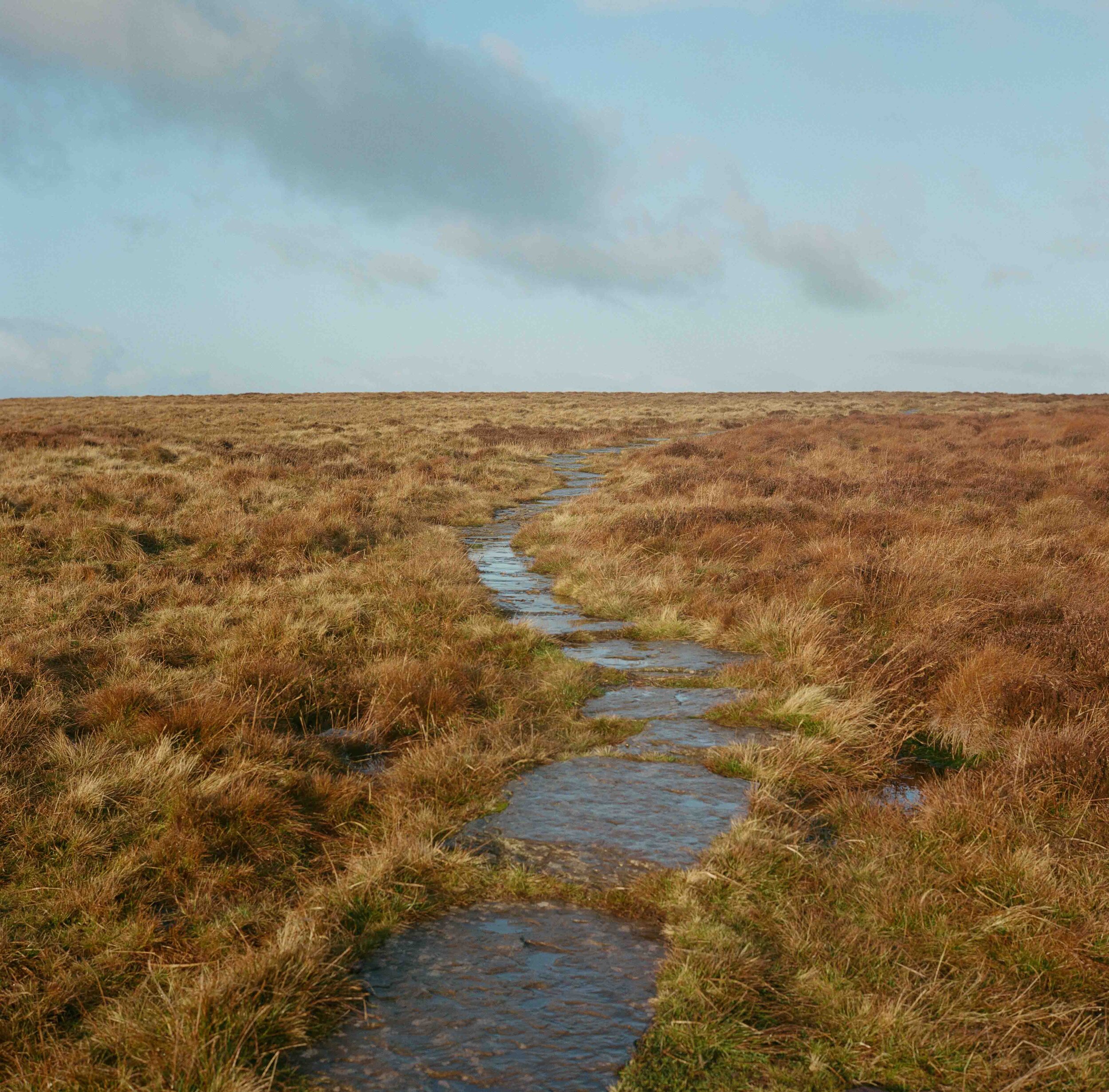
Over 300m above sea level, the Kerry Ridgeway, an ancient trade and livestock drovers’ route from Wales to the lowland English markets, marks the line of the border.
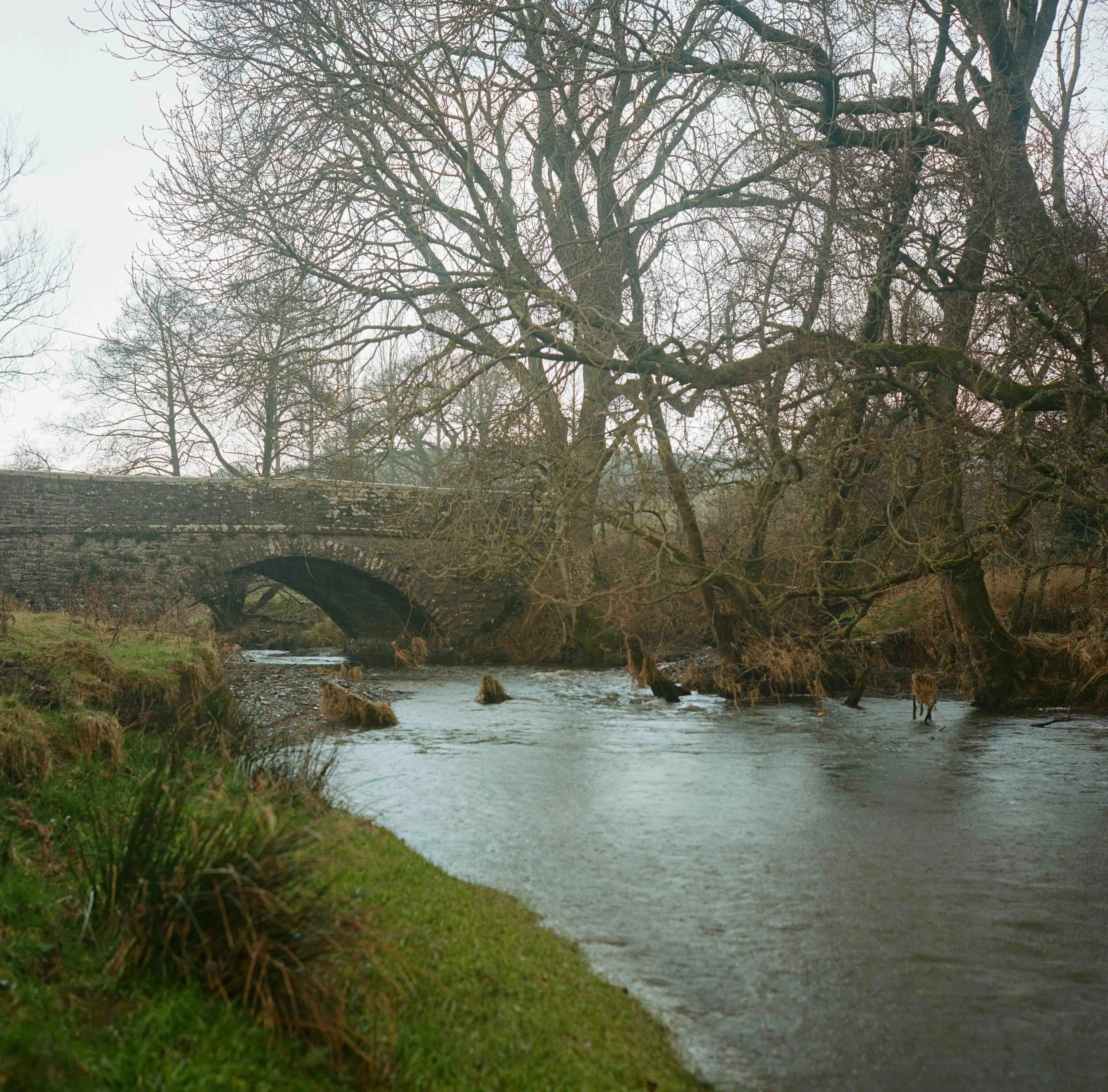
A bridge over the River Teme near Beguildy serves as a fluvial border.
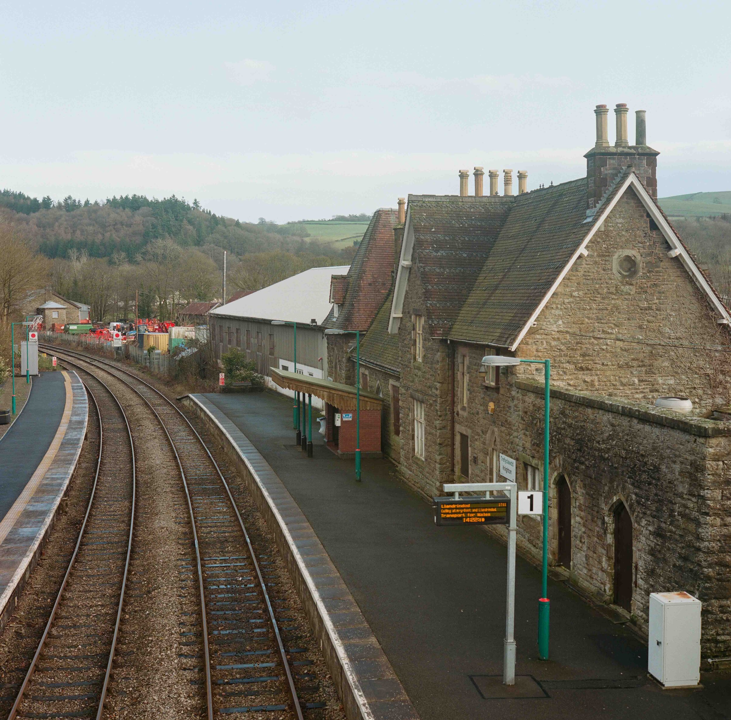
Knighton railway station serves the market town of Knighton in Powys, Wales, although the station itself is located in Shropshire, England. All trains serving the station are operated by Transport for Wales, who also manage the station.
Stones marking Offa's Dyke Path along the Hatterrall Ridge in the Black Mountains offers a visual representation of the border.
Offa's Dyke Path is a 176-mile long-distance footpath running between Liverpool Bay in the north and the Severn Estuary in the south that follows the border in several sections.
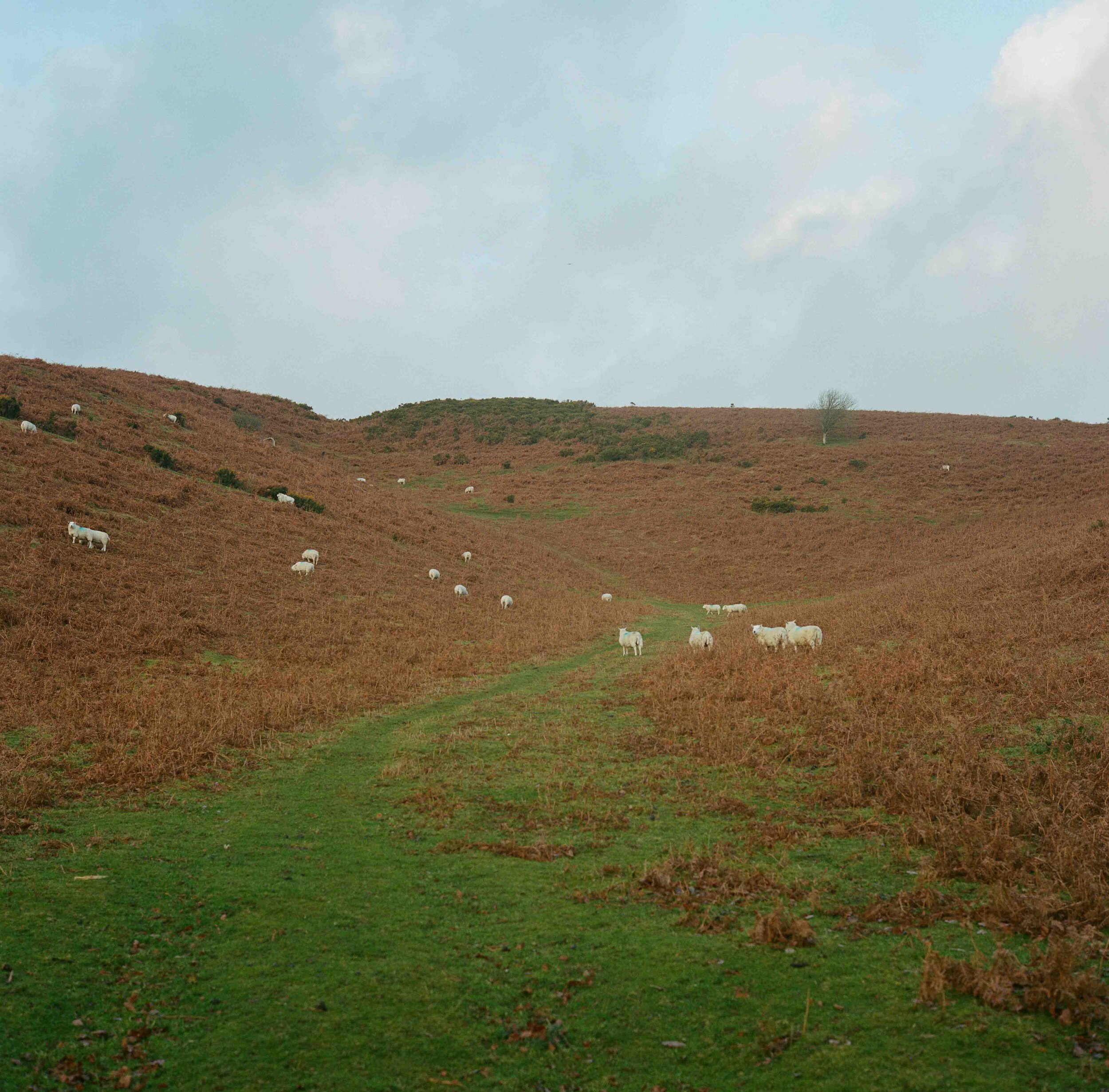
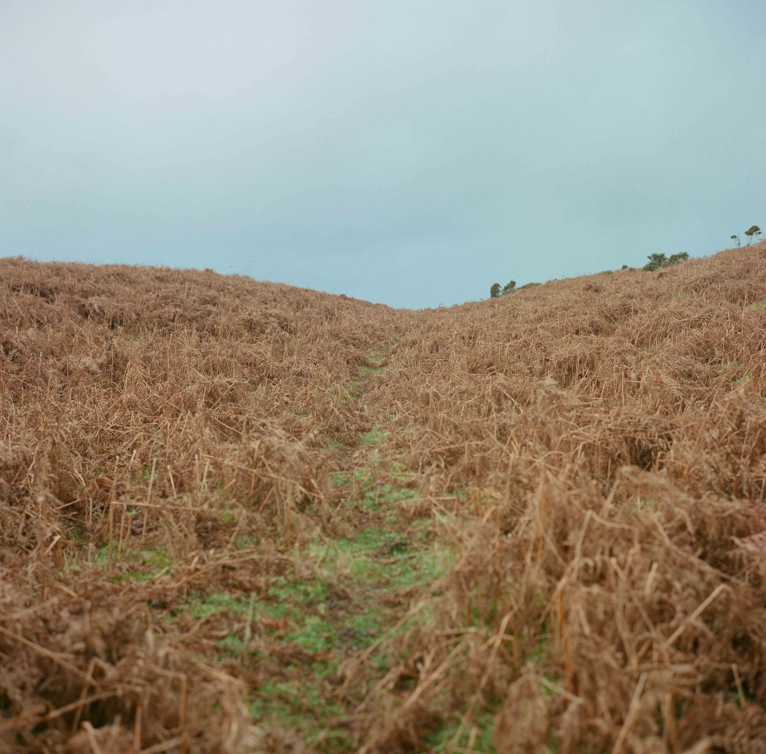
Sheep graze among the bracken on either side of the border on the lower slopes of the Hergest Ridge. The ridge inspired a 1974 album by English musician Mike Oldfield after which he named it.
An indistinct path leading up to the Hergest Ridge marks separates Powys and Herefordshire and so the border between England and Wales.
The ridge inspired a 1974 album by English musician Mike Oldfield after which he named it.
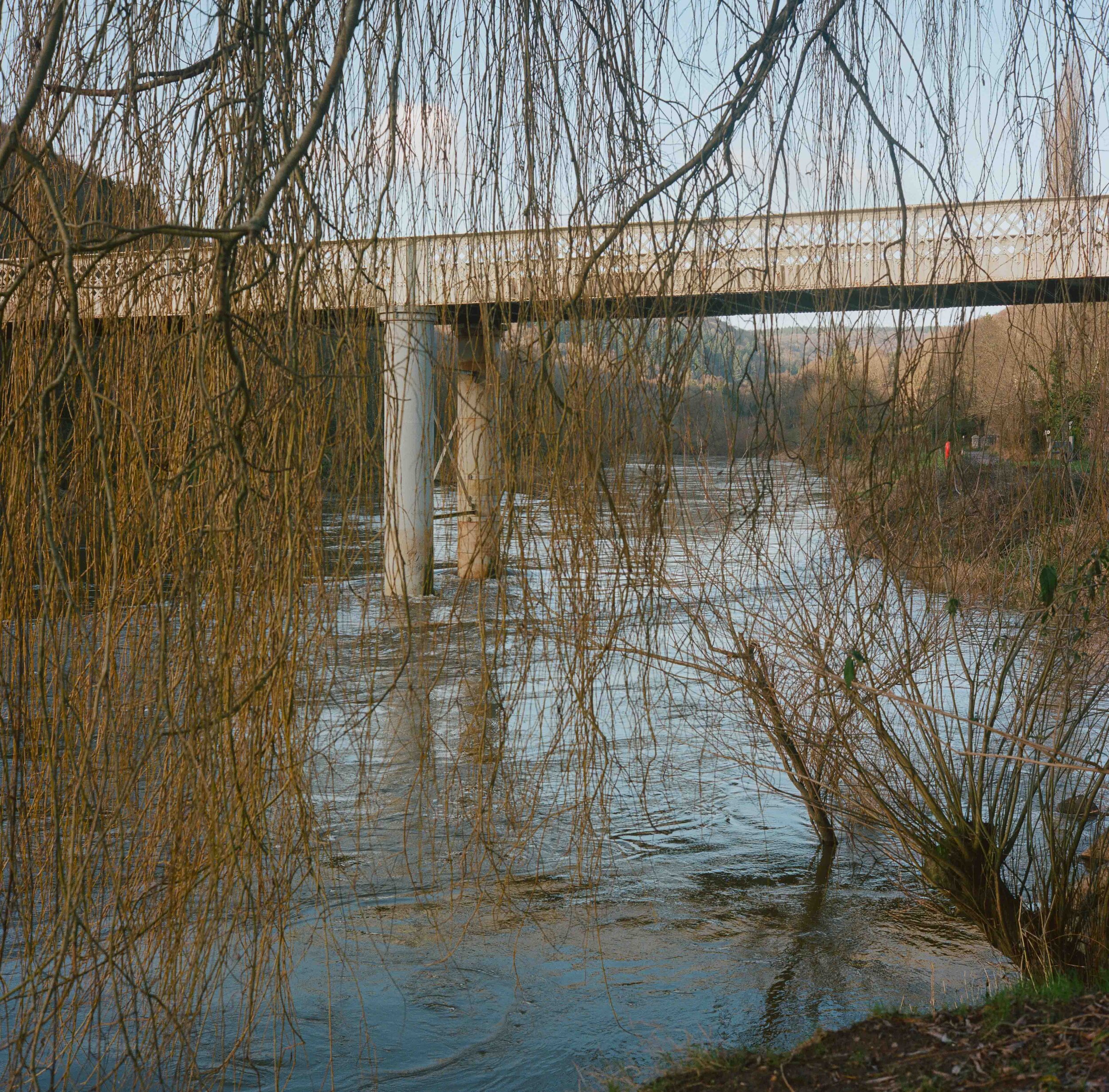
Brockweir Bridge over the River Wye as it runs towards the Severn estuary. The River Wye is the fourth-longest river in the UK, stretching some 250 kilometres (155 miles) from its source on Plynlimon in mid Wales. For much of its length the river forms part of the border between England and Wales.
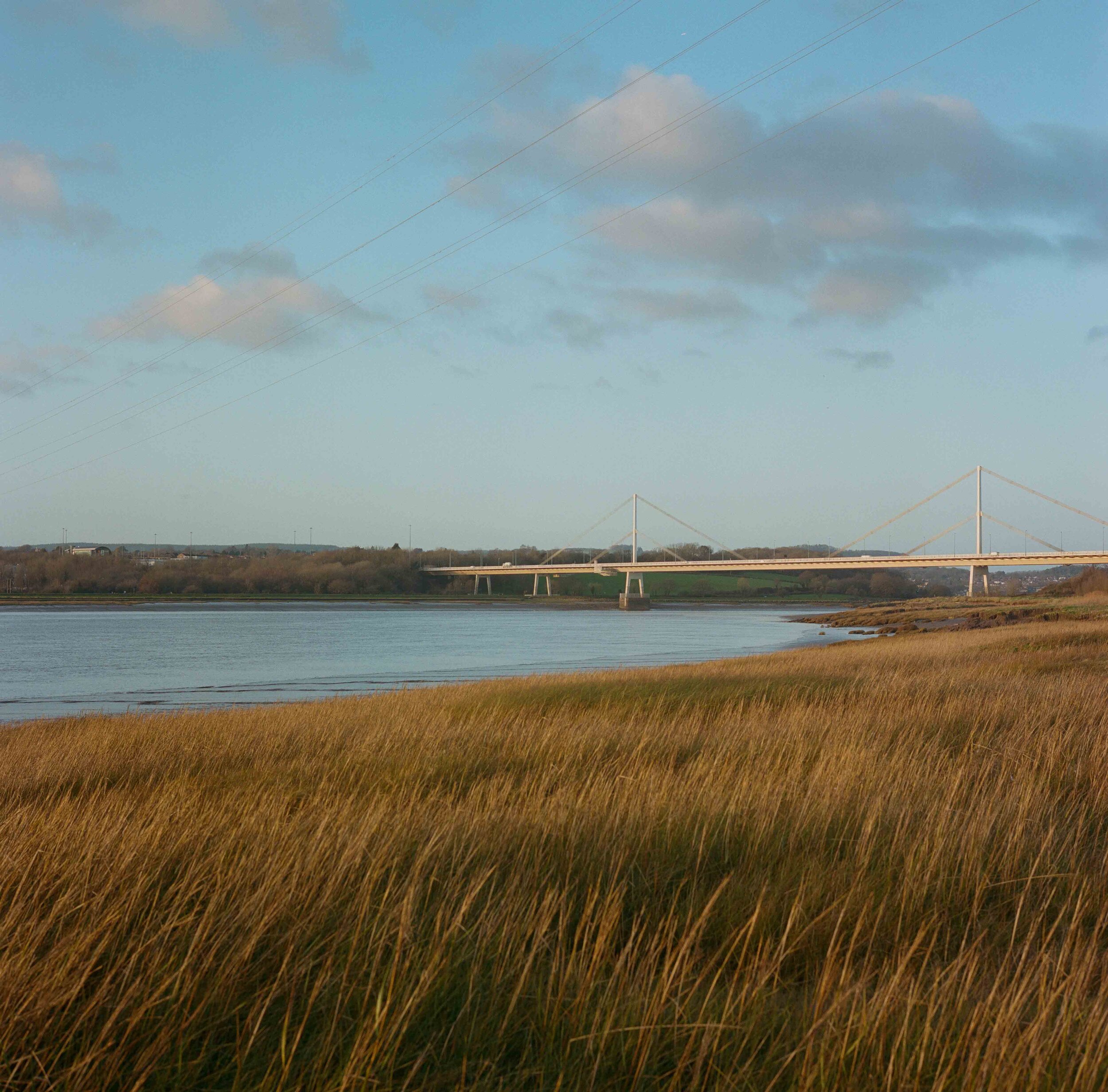
The Severn Bridge or Pont Hafren that spans the River Wye as it empties into the the Severn estuary marking the southern point of the border.