


The border cuts across a road and between houses in Killea on the Donegal-Londonderry county line. Killea was one of several protestant villages in eastern Donegal that would have been transferred to Northern Ireland, had the recommendations of the Irish Boundary Commission been enacted in 1925.
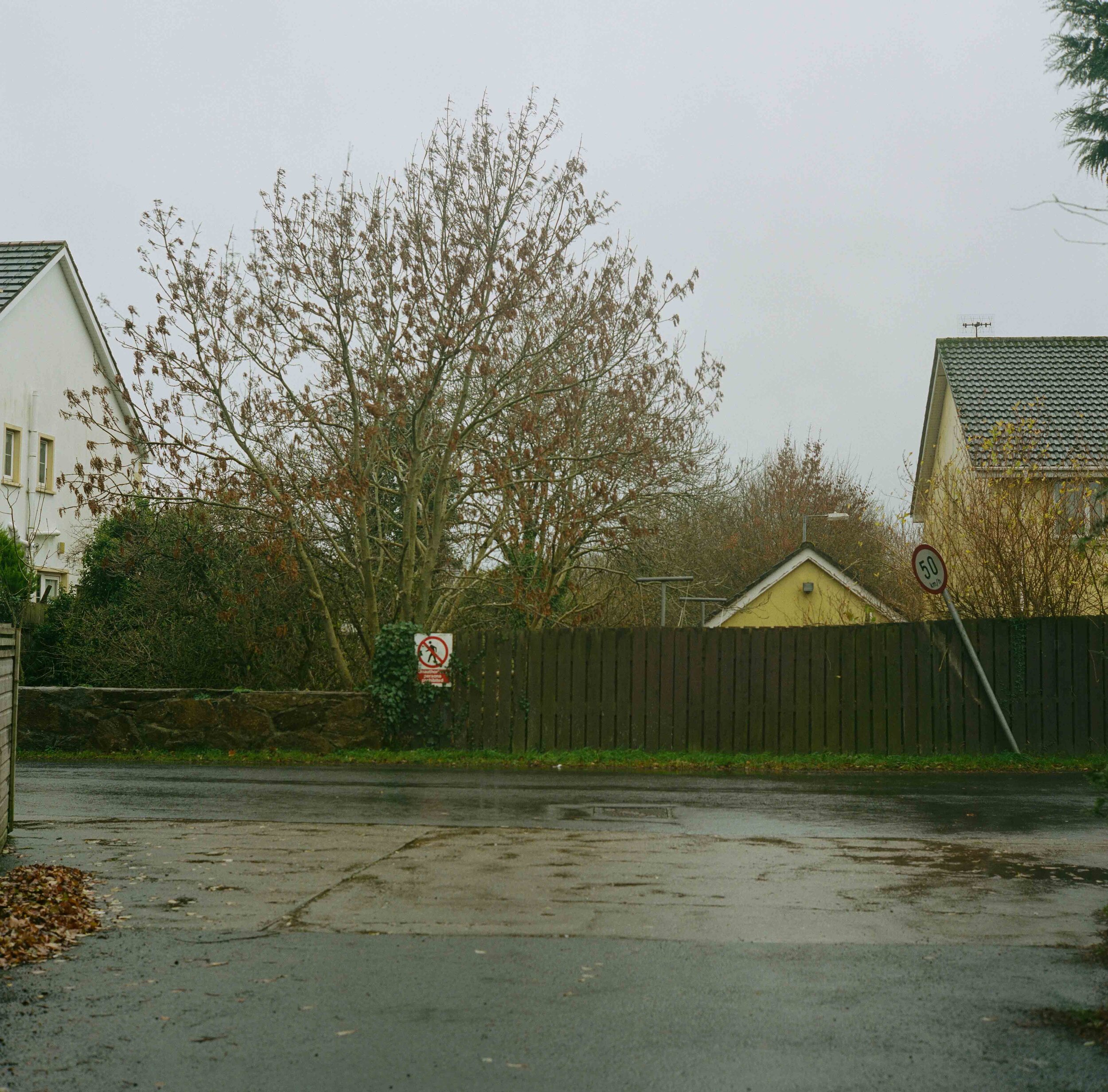
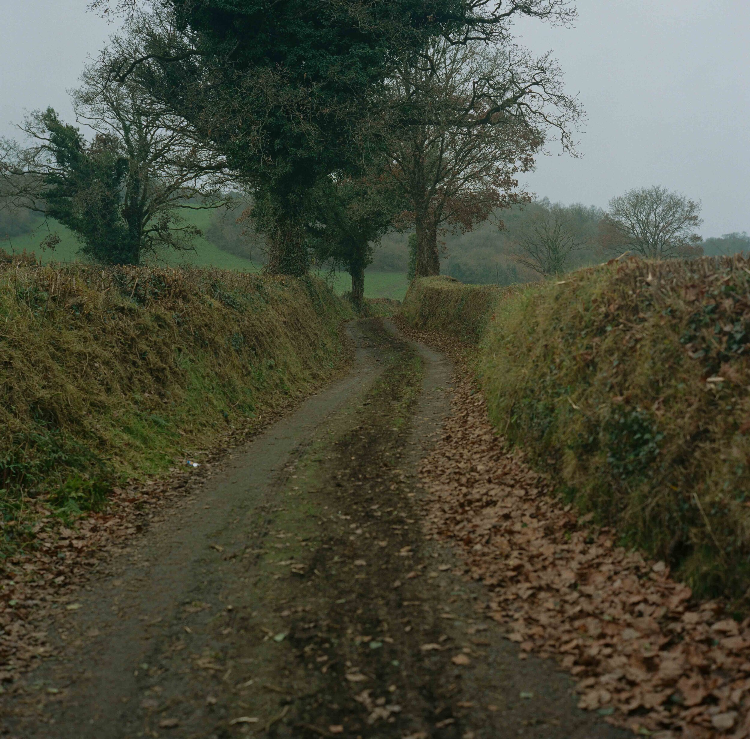
The Irish border snakes across the landscape cutting across around 260 minor roads such as this one. Many worry about how access will be regulated post-Brexit with those living along the border using services on both sides. A simple run to the shops could suddenly become a complicated venture.
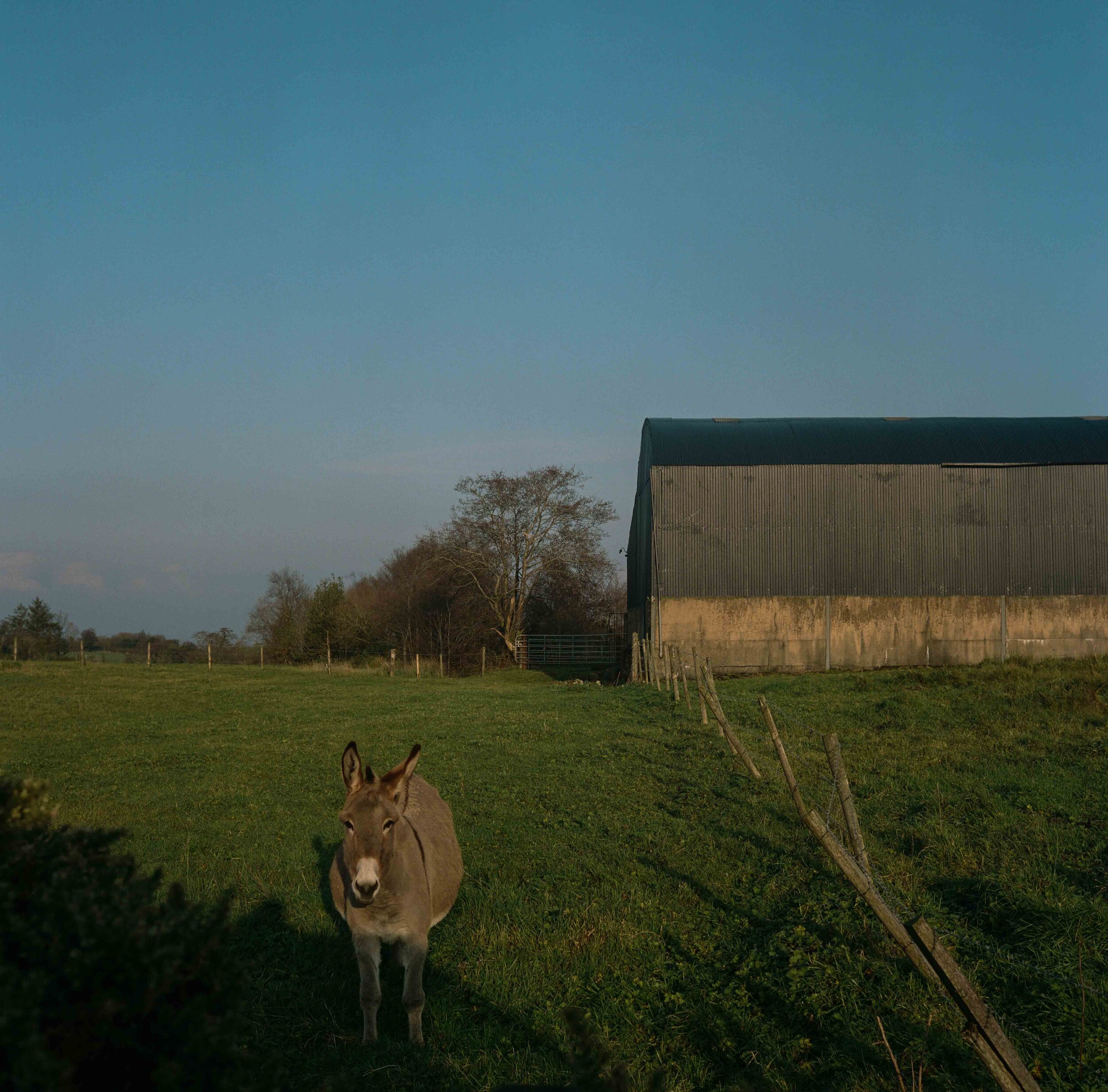
A rickety fence marks the division between Northern Ireland and the Republic. The donkey is in the North. The shed in the South.
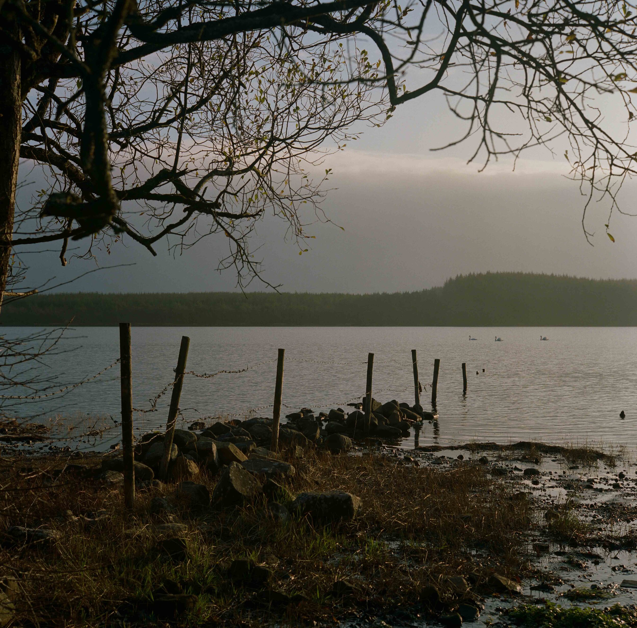
Swans cross the border that cuts Lough More in half. The waters of the Lough are reputed to be the purest in the country, while it is also famed for being the burial place of the legendary ‘Shane Bernagh’, the rapparee who ‘robbed the rich to feed the poor’ in the three counties - Monaghan, Tyrone and Fermanagh. Betrayed by one of his own, he was eventually tracked down and killed, with his body being thrown into Lough More.
A barely perceptible stream marks the international boundary as it runs between County Tyrone and Country Donegal down towards Pullyernan Hill. A nearby megalithic tomb attests to the ancient history of human habitation in the area.
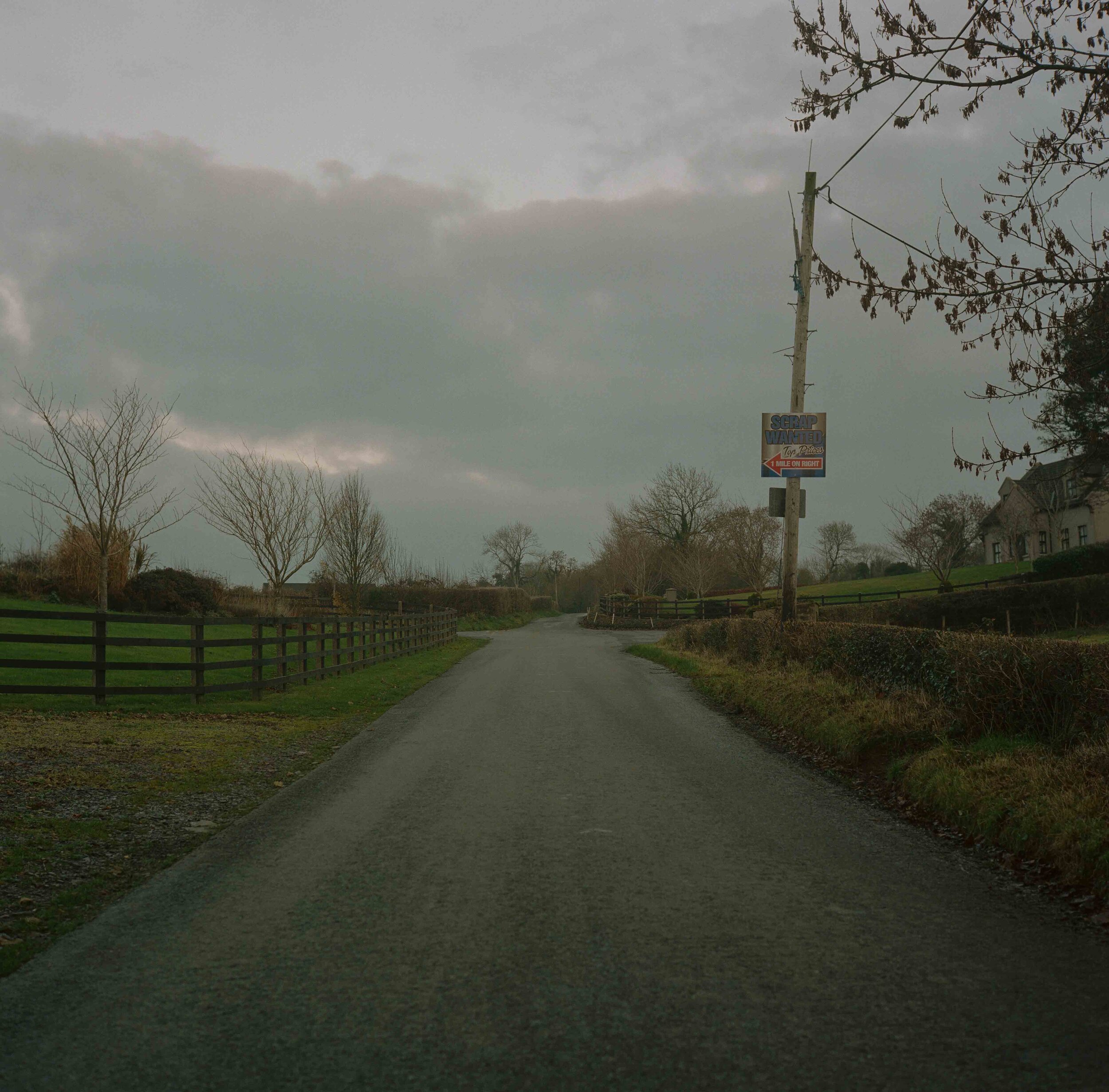
Cross border trade - Scrap Wanted! Top Prices! Neighbours on either side of the road that divides County Monaghan and County Armagh find themselves on different sides of the border.
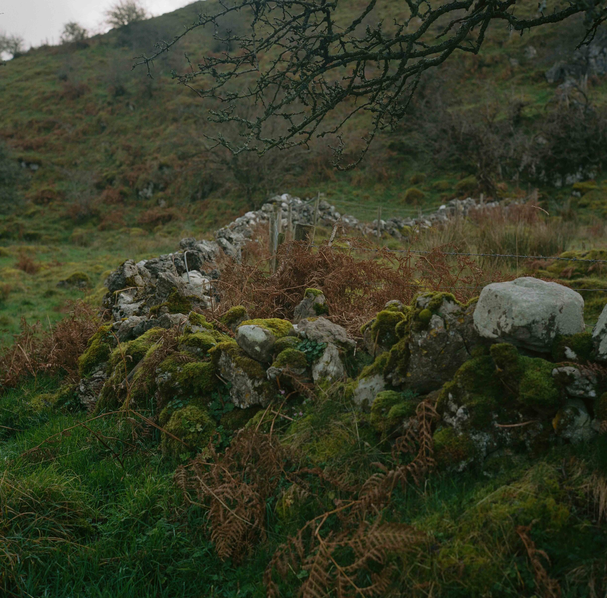
A old drystone dyke marks a right angled deviation of the border in a field on the County Fermanagh/County Cavan border - historical anomolies with present-day significance.
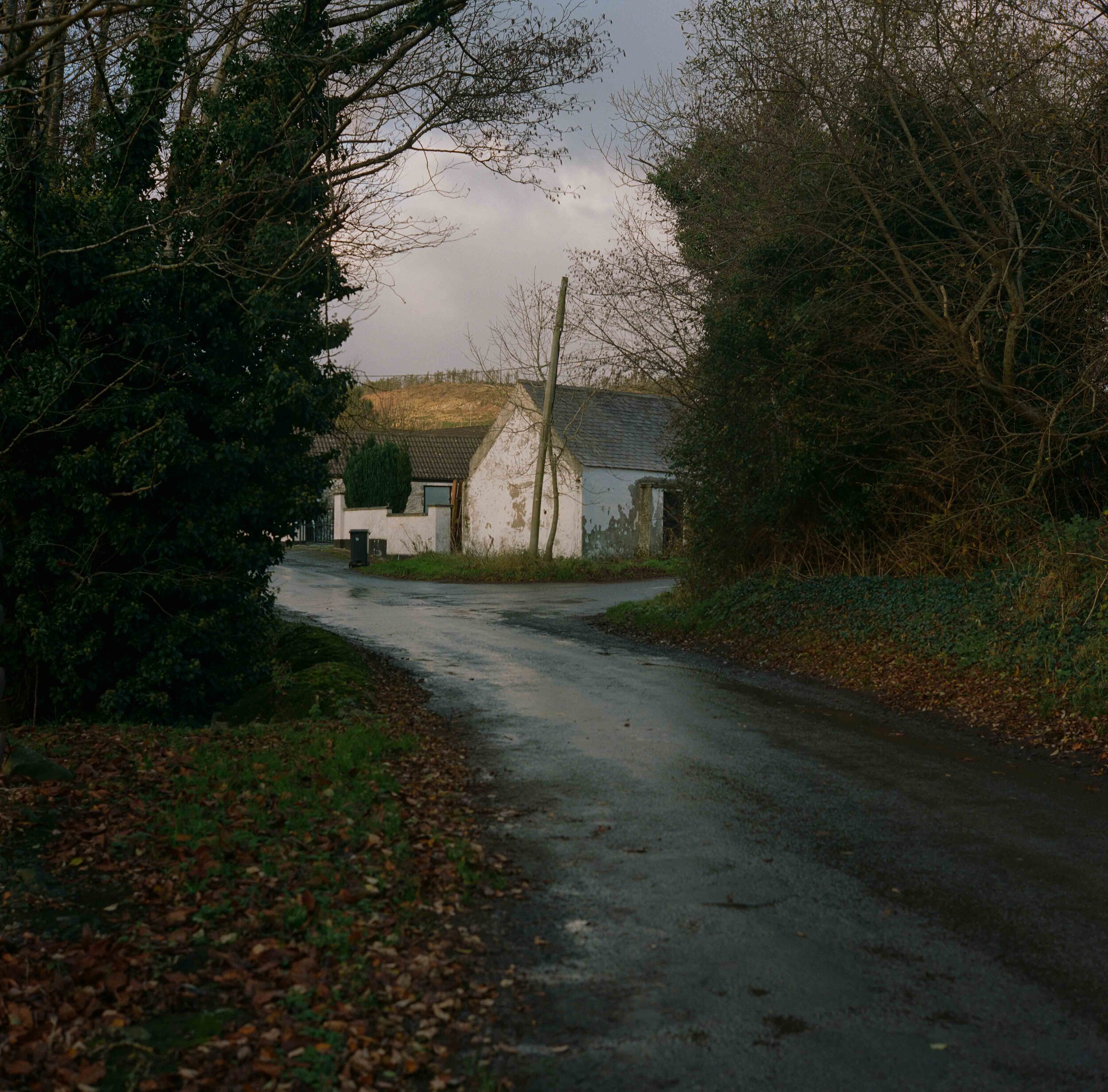
Near Jonesborough a boarded up house in a small chink in the border places it within Northern Ireland by a few metres.
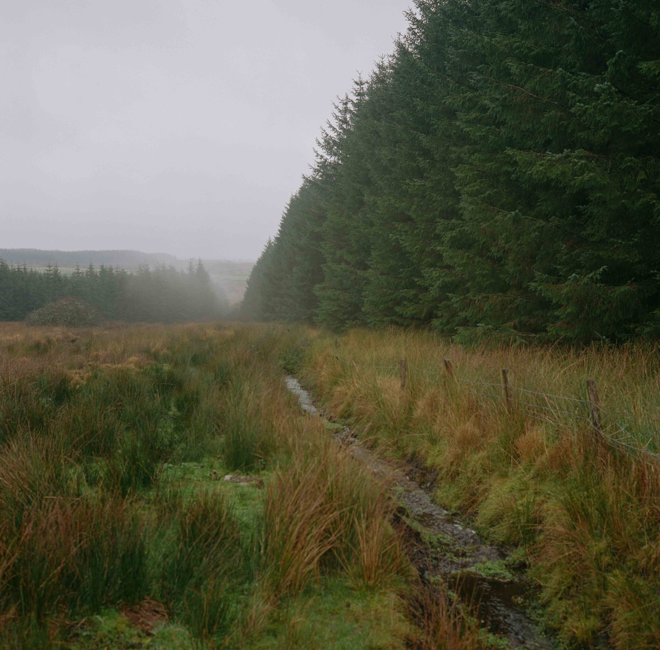
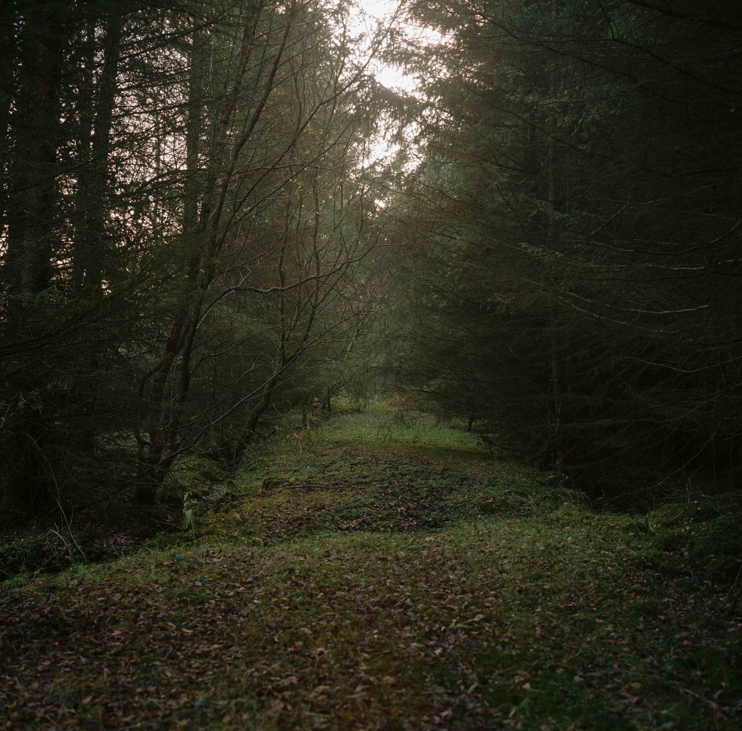
A clearing in woodland indicates the line of the border between County Tyrone and County Monaghan.
Upper Lough Erne .
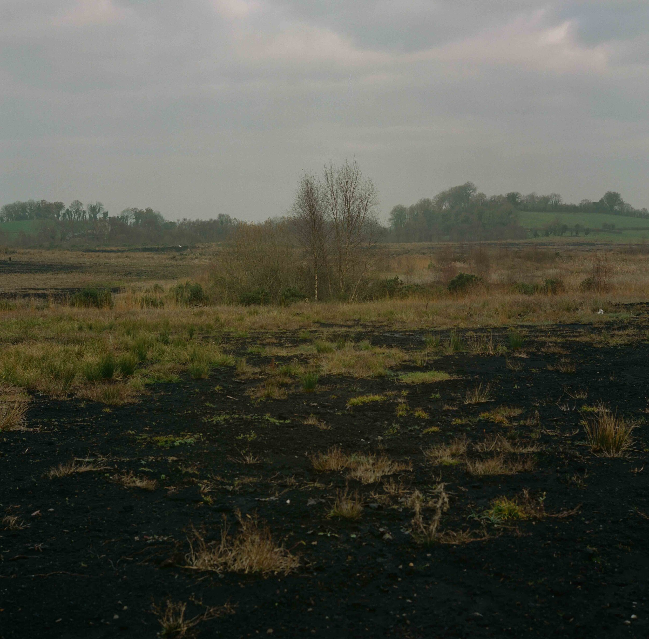
The border runs straight across a patch of seemingly barren land in Greaghglass in the cartographical anomaly known as the Drummully Polyp - a piece of Monaghan, and therefore of the Republic, almost completely surrounded by Fermanagh, in the UK.
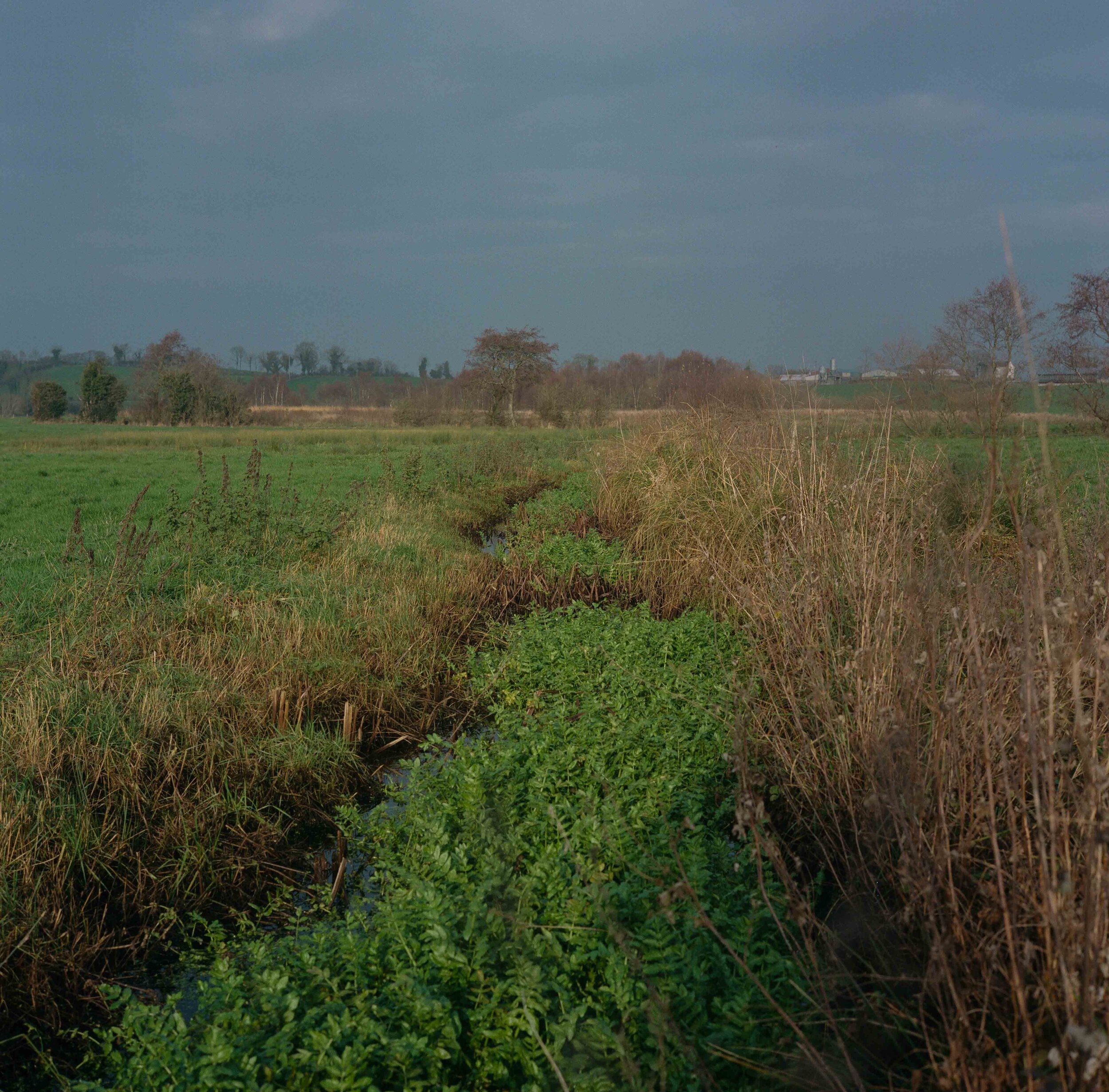
A stream clogged by weeds demarks the international boundary in the Drummully Polyp. The Polyp is an enclave about seven miles long and three wide surrounded by Fermanagh in the the North that is connected to the Republic by a 110 metre stretch of the River Finn. Ascribed in the 1920s to "some long forgotten feud between petty kings", the Clones-Cavan road, which cuts through the area, crosses the frontier four times in seven miles.
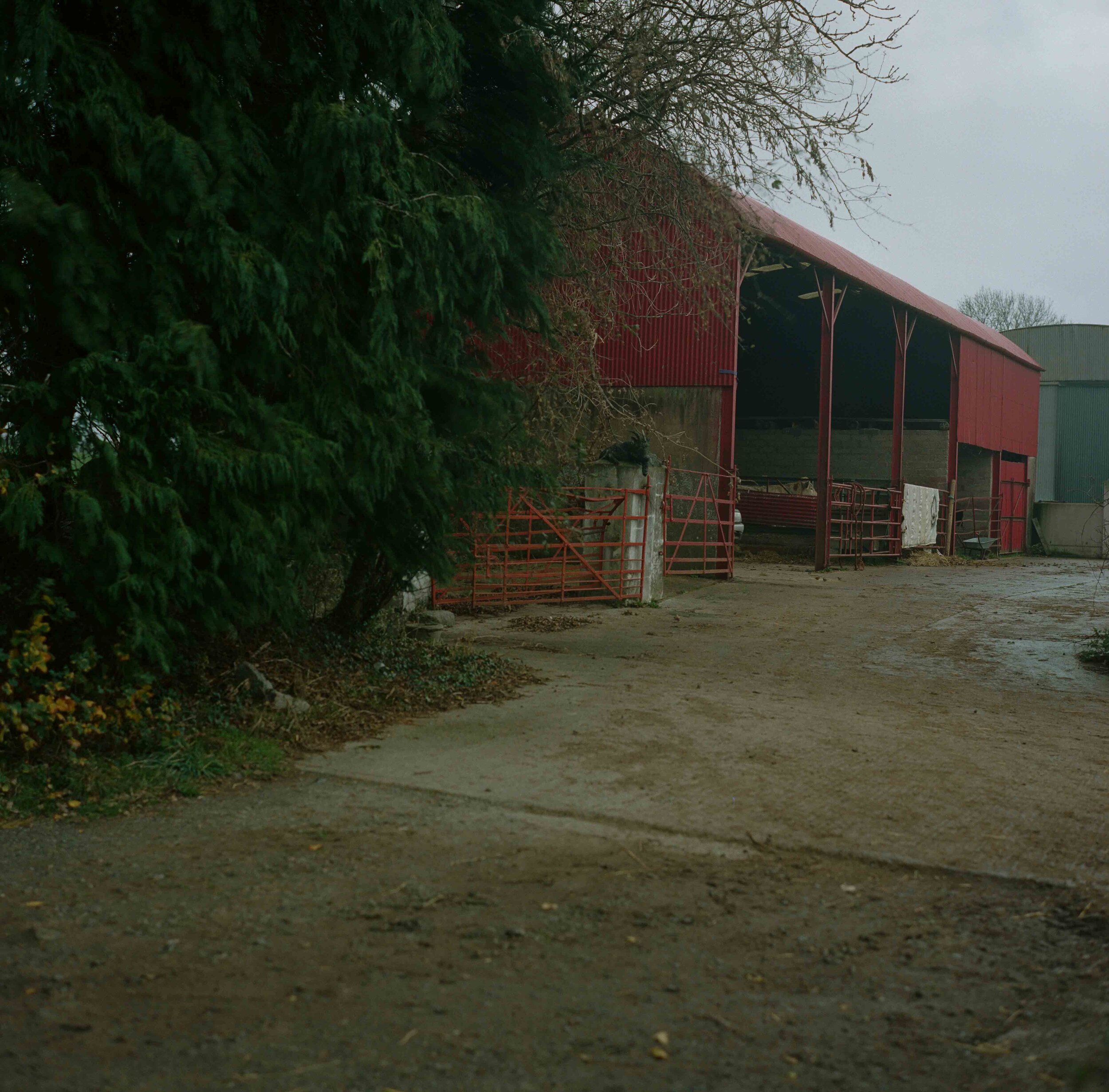
The border passes through the middle of a farmyard dividing sheds, outhouses and the farmhouse across an invisible divide separating County Lough and Newry. Basic farm subsidy payments under the EU’s Common Agricultural Policy have been a lifeline for many farmers. Post-Brexit, the NFU argues that livestock farmers will have lost up to 80 percent of their income by 2024 under the UK's current alternative plans.
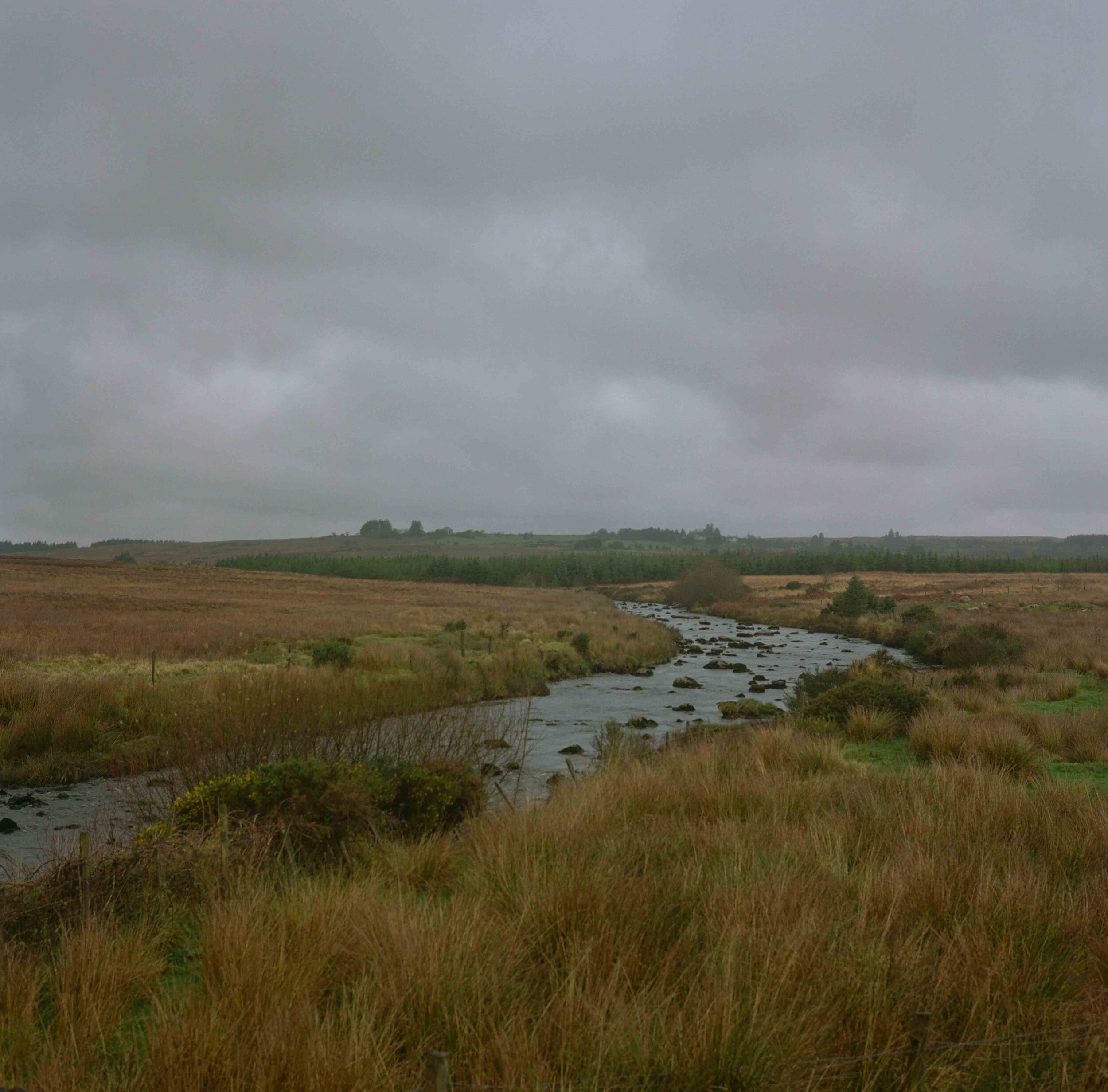
The Mourne Beg River dividing County Donegal and County Tyrone.
Drummard Lough which the border cuts in two between County Cavan and County Fermanagh.
The border runs along the road splitting it in half between Derryhallagh in County Monaghan and Gortmullan in County Fermanagh.
Forkhill, Newry. The border cuts through this property. In the past, a small bar existed in the annex profiting from laxer licensing laws on one side of the border from the other. Patrons could enter the front door under one jurisdiction and find themselves in another through the back door.
Danger! Keep out! On the Eshbrack Bog looking down towards Lough na Heery.
A nondescript stream in woodland east of Kiltyclogher divides County Fermanagh and County Leitrim.
The fluvial border divides two businesses and runs out into Lough Foyle and further into the North Atlantic ocean. With uncertainty over the free movement of goods post-Brexit, businesses and the economy on both sides of the border could be badly affected.